Mountain biking
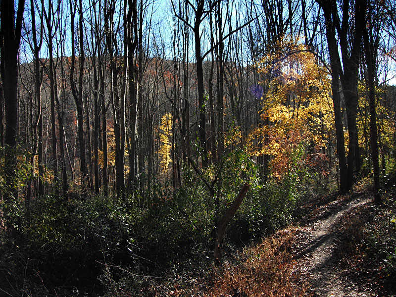 David English trail, November 2010
Photos taken on mountain bike rides in Middle Run and White Clay Creek State Park.
Trail names are from the Ken Cox map.
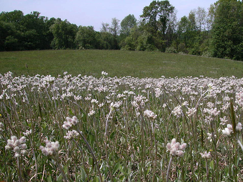 Pussytoes on Whitley Farms Trail, May 2010
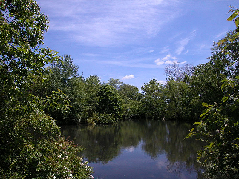 Bryan's Field trail
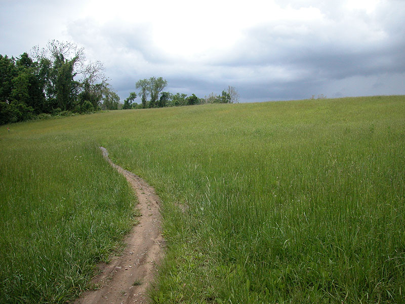 Whitley Farms trail
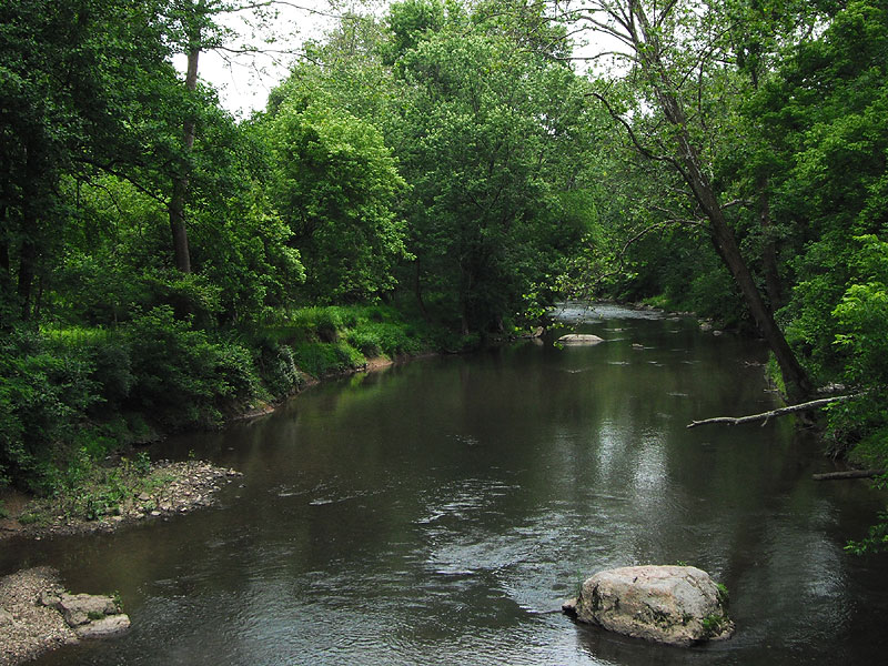 From the bridge at Wedgewood Road
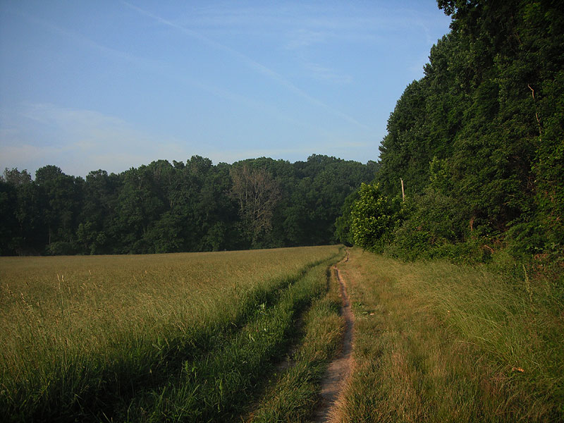 Creek Road, June 2010
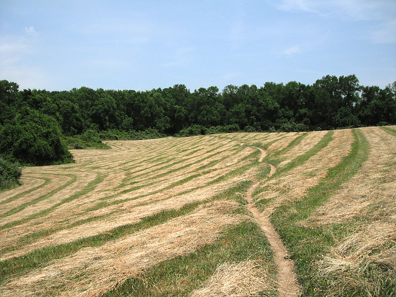 Boundary Line trail
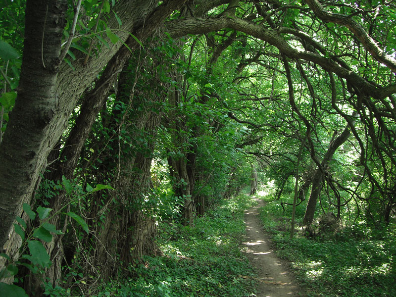 Boundary Line trail
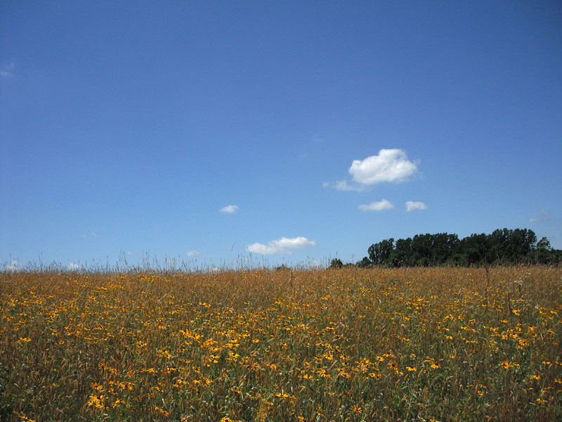 Whitley Farms trail
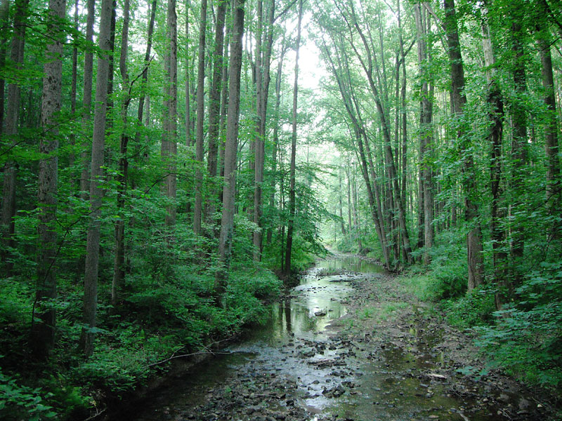 From the Possum Hollow bridge
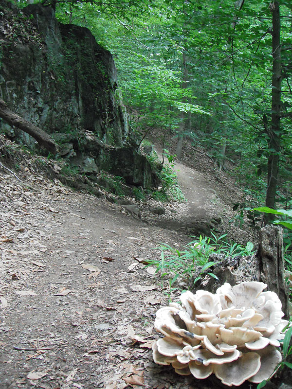 Double Horseshoe trail
 Whitley Connector
Copyright David G. Smith